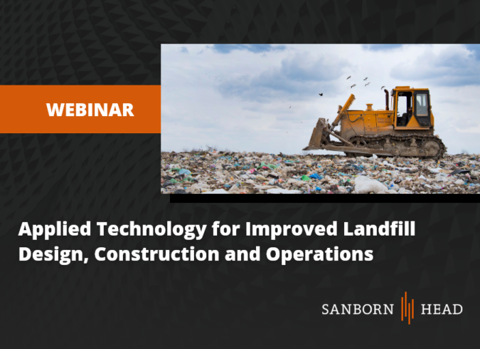
A landfill is a large and complicated “building” project with many design elements that have the potential for conflicts. Because landfills are “built” and filled over many months or even years, these conflicts may not become evident until it’s too late. For instance, the liner system is a critical design element because it provides containment and protects our environment from contamination. However, drilling landfill gas wells—another essential landfill design element—puts the liner system directly in harm’s way. Deeper wells can capture more gas and allow liquids to drain into the leachate collection system, but they increase the risk of damaging the liner system. The elevation information had better be accurate and make sure someone checks the math…twice! The liner system isn’t the only system in danger. Any of the previously installed infrastructure within and around the landfill limits are at risk during construction projects, including landfill gas collection and conveyance pipes, force mains, compressed air pipes, and instrumentation.
Using today’s computer aided design and global positioning system technologies, designers and facility operators have the tools they need to model landfill facilities in 3D and maintain a database of installed system infrastructure to avoid conflicts, simplify construction, keep filling on track with the facility’s “master plan” and allow systems to perform better and last longer.
Why watch?
This presentation presents the benefits of designing landfills using 3D models and highlights some of the technology and innovative methods that have been developed to assist in the planning, permitting, design, layout, and performance monitoring of landfill system infrastructure. Topics covered include:
- Dynamic fill sequencing plans generated through surface pasting;
- Dynamic vertical well installation schedules that automatically sample surface elevations and report errors;
- Dynamic gas well profile generation using extended data;
- 3D sump design and layout using dynamic point tables;
- Dynamic settlement prediction models for estimating post-settlement slopes, airspace gain and overlay liner strain; and
- 3D modeling and rendering using Google Earth.
What you’ll learn:
The presentation provides an overview of how to:
- Summarize the capabilities of today’s computer aided drafting (CAD) software to store and retrieve information critical for landfill design and operations.
- Explain what extended data is and how it can be used to create dynamic output, including gas well schedules, well profiles, and settlement predictions.
- Identify at least three specific use cases where 3D design can improve solid waste designs and operations.
- Illustrate practical ways in which 3D modeling can be used for landfill visual analysis.
Posted In: Events
Tagged In: Presentations, Solid Waste, Solid Waste Webinar Series